
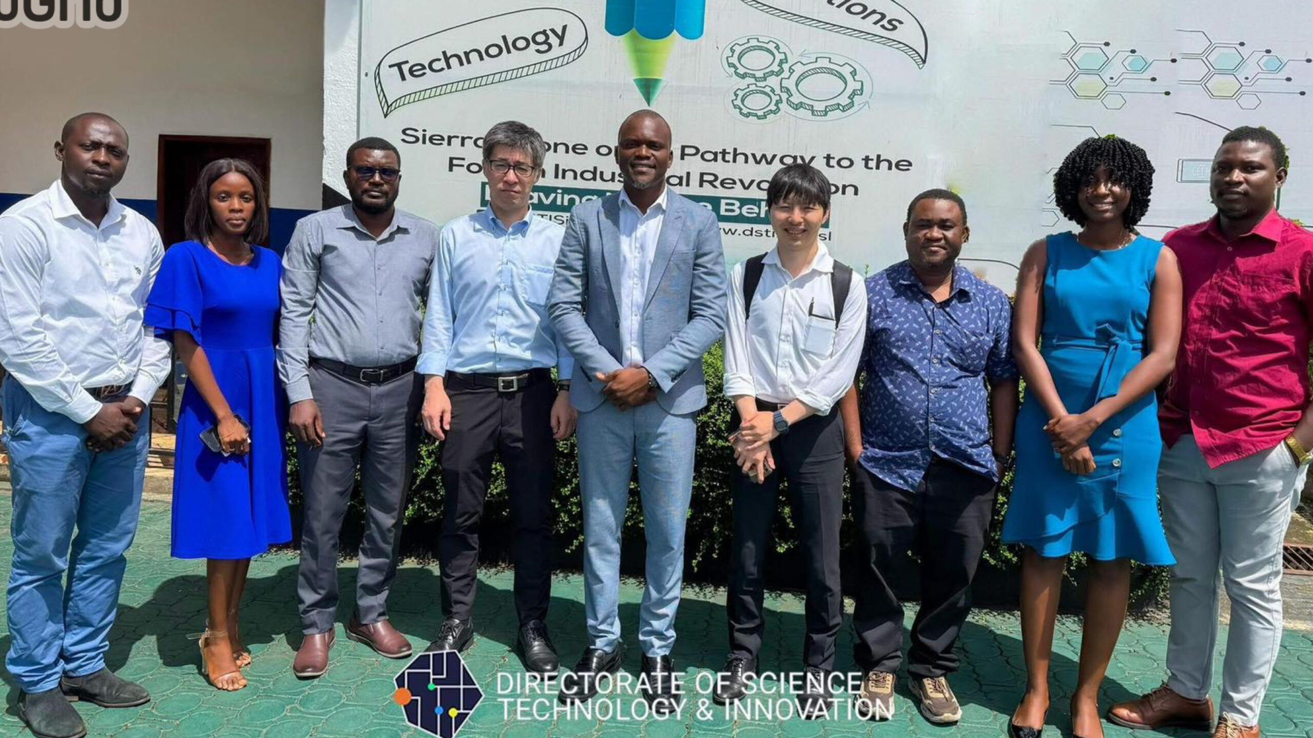
The Directorate of Science, Technology and Innovation – DSTI, in partnership with the Ministry of Lands and Japan’s Aero Toyota Corporation, is developing a national high-resolution basemap for Sierra Leone.
The project begins with a 4-month pilot in the Western Area Urban and will produce accurate, verified spatial data for planning roads, schools, health facilities, water points, and other infrastructure.
The data will be integrated into DSTI’s iGIS platform, which has already supported over 260,000 users in initiatives like school feeding and rural water mapping.
This effort lays the groundwork for more innovative development, better service delivery, and stronger disaster response.
The full rollout is scheduled to begin in August 2025, with support from JICA.
A data-driven future, mapped for all.
👉🏾Read more: https://www.dsti.gov.sl/building-the-digital-foundation-for-sierra-leones-spatial-future-dsti-embarks-on-high-resolution-mapping-initiative/