
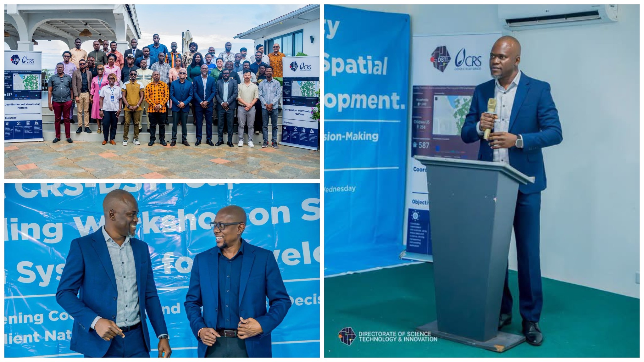
The Directorate of Science, Technology and Innovation (DSTI), in partnership with Catholic Relief Services (CRS), has commenced a three-day Technical Capacity Building Workshop on Spatial Data Systems for Development aimed at enhancing the use of digital technologies for informed decision-making and national development.
The workshop brings together participants to strengthen their understanding of spatial data systems and their application in development planning, disaster risk reduction, and evidence-based policymaking.
On the opening day, participants were introduced to the fundamentals of spatial data systems and their critical role in disaster risk reduction. The sessions combined theory with hands-on practical training, providing participants with essential skills in Geographic Information Systems (GIS), digital data collection using KoboToolbox, Open Data Kit (ODK), and Google Forms.
The training also covered key aspects of data governance, alongside practical exercises using QGIS and ArcGIS for mapping, spatial analysis, and data visualization.
According to the organizers, the workshop is designed to demonstrate how interoperable digital systems can improve planning, enhance coordination among institutions, and support data-driven decision-making across Sierra Leone.
The initiative reflects the continued collaboration between DSTI and CRS to build technical capacity and promote the effective use of digital tools in addressing development challenges and strengthening national resilience.